Sentinel-2 · Red Sea coast
Geo-RAG Earth Dashboard
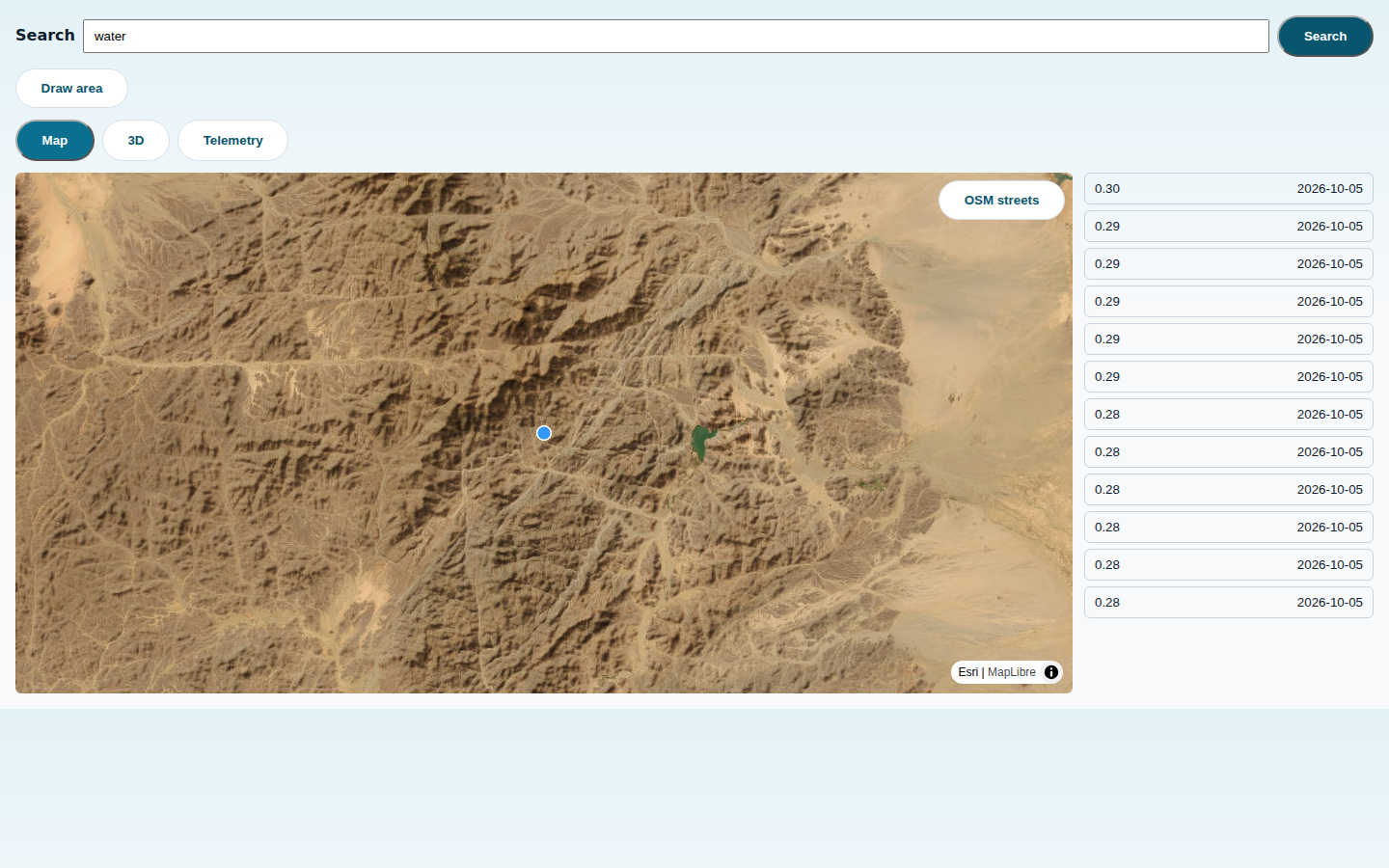
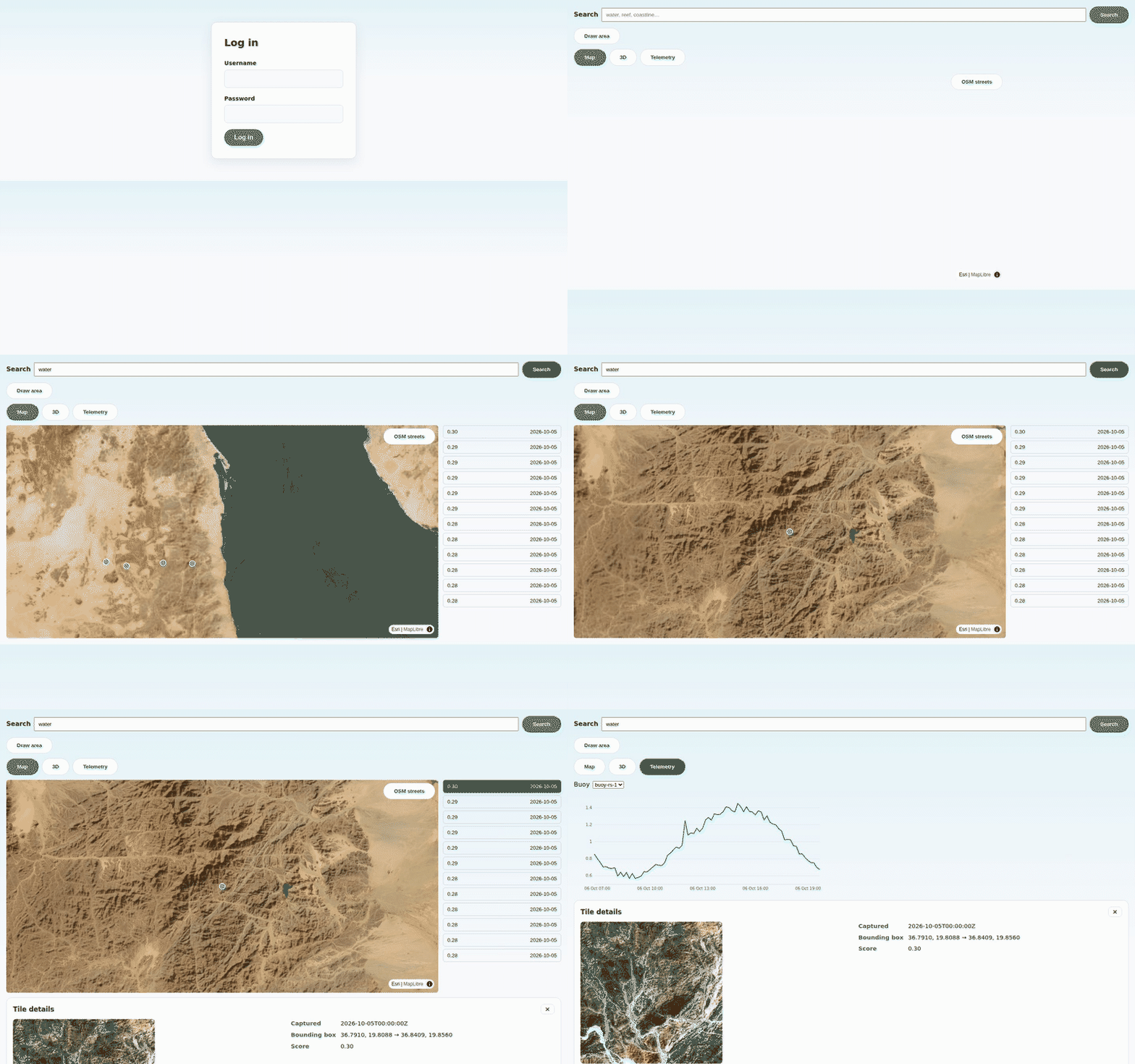
Search Sentinel-2 satellite imagery of the Red Sea coast in plain English: describe what you want to see — turquoise coastal water, desert near the shoreline, cloud patterns — and a retrieval-augmented vision model finds the matching scenes, ranks them by relevance, and opens each hit on an interactive map with thumbnails, capture dates, and buoy telemetry alongside.